The Solution

Aveillant Theia Holographic Radar ™
This is a 3D staring primary radar that sees both aircraft and wind turbines, characterising each and so discriminating between them (i.e. only reporting true targets) with no loss of performance.
And the answer is …
Aveillant Theia Holographic Radar™
A 3D staring radar that sees both aircraft and wind turbines, characterising each and so discriminating between them (i.e. only reporting true targets) with no loss of performance
Electronic Warfare Resilient
Due to system architecture
Proven Technology
CAA Safety Cased & operational 5nm Theia for East Midlands Airport
20nm & 40nm Theia demonstrated at Muckleburgh & Deenethorpe respectively
Extended range Theia >50nm demonstration Q1 2019
Industry Standard Output (ASTERIX)
Either direct or fully integrated feed
Aveillant, a Thales Company
Based in Cambridge, UK
A sustainable solution, exportable globally
Solution can enhance future air defence capability
Interrogates whole field of view persistently, in contrast to existing scanning AD radar
Reporting interval of 1 second or less
The Theia is unaffected by the windfarm rotor effect, so it is able to correctly and accurately display an aircraft track whether that aircraft begins to be tracked over (or within) a windfarm area, or has been tracked from outside of the windfarm area for some time previously and is now overflying a windfarm.
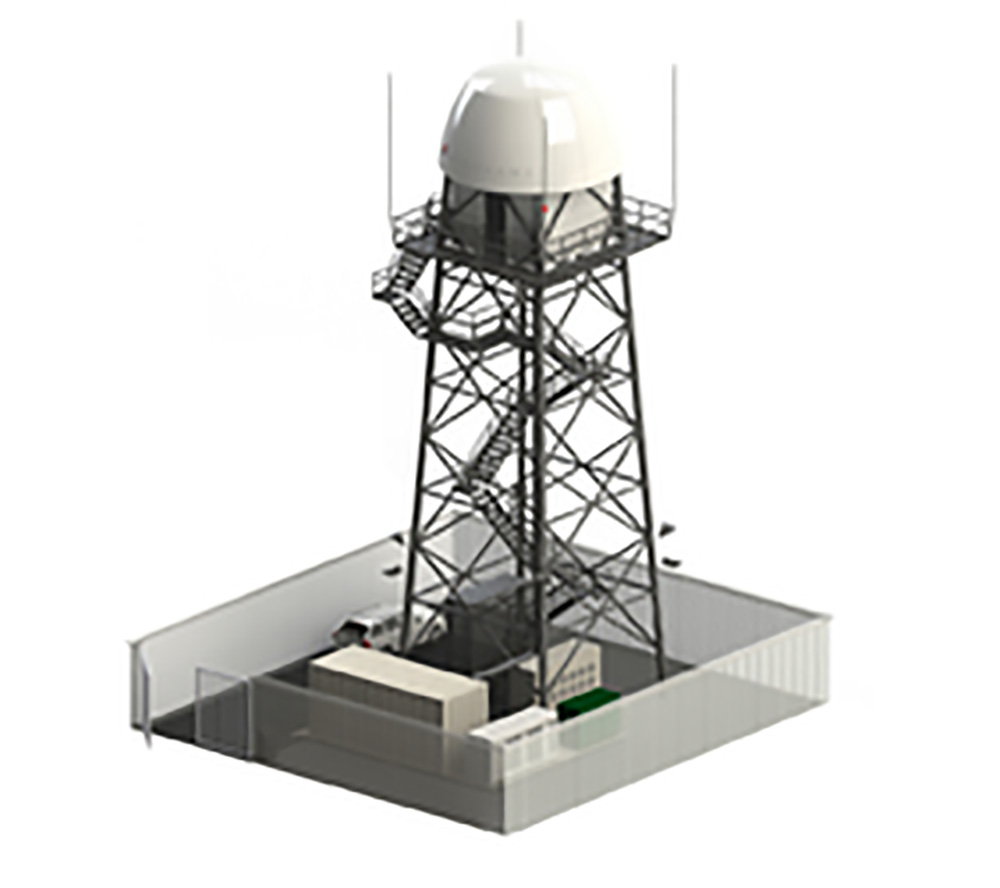
The Theia solution is scalable to meet different requirements of range and angular coverage. The radar does not need to be collocated with a standard rotating PSR, as it is a completely standalone system. It can be mounted in a variety of ways, including on a custom designed tower, to ensure it has visibility of the wind turbines which are affecting the PSR

The Theia output data is fed to a 3rd party unit (i.e. Cyrrus’ Aerium™), along with the PSR output data and the unit deals with the integration of the two data streams. The unit may be located anywhere. Two units may be used in a dual-redundancy mode for additional robustness.
A polygon area is defined enclosing the windfarm area within the Integration Engin, and data from the PSR within the polygon is blanked out and replaced by data from the Theia radar. This combined data stream is then fed to the Controller presenting a completely seamless, fully integrated, clear and accurate picture of radar tracks with both the PSR data and the Theia data present, but no radar returns from the wind turbines.
More than one polygon can be defined to account for several separate and individual windfarms.
Ultimately, an entire chain of Theia’s could be located at strategic positions along the East coast and networked together to provide a complete set of infill radars for all the offshore North Sea based windfarms for use by both civil and military users.
